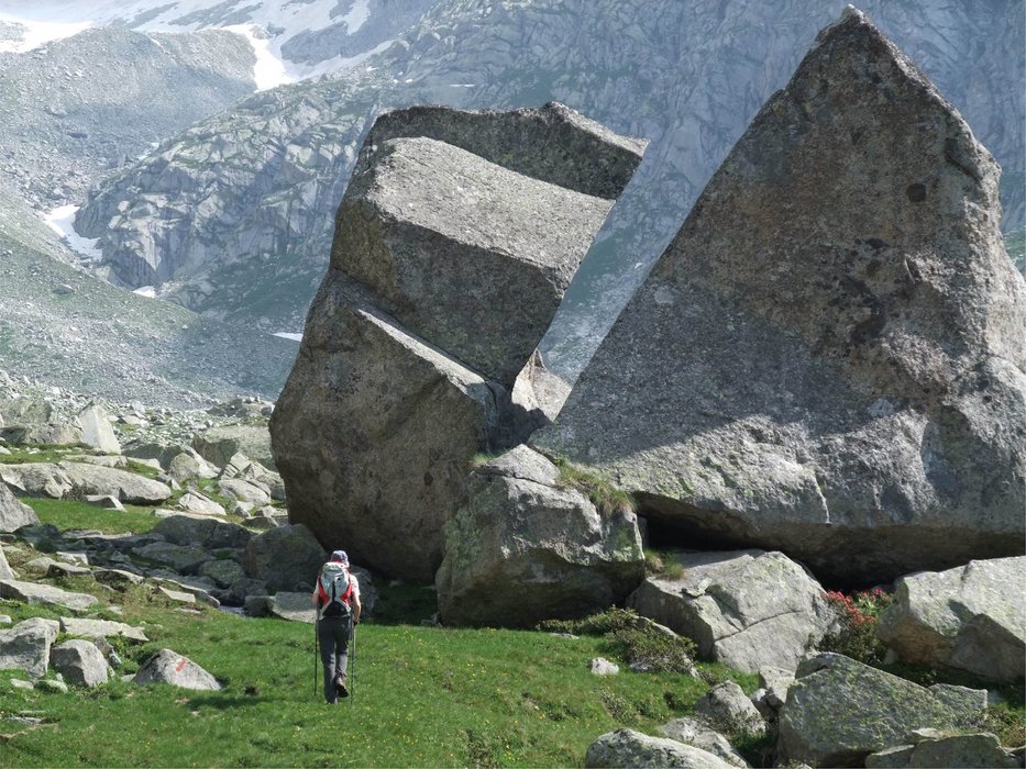
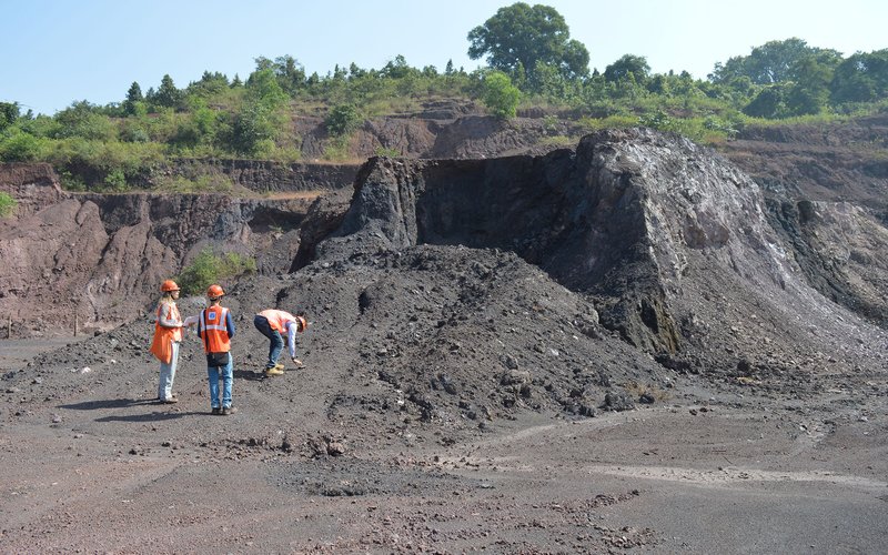
The Geo-Environmental Risk Research Topic is addressed to hazard analysis and risk assessment, for planning and management of the territory and emergencies. Within this topic, stratigraphic-sedimentological, geological-structural, geomorphological, hydrogeological, volcanological, geochemical, geophysical and geotechnical studies are carried out, at regional and site specific scale, for the realization of subsurface models and hazard assessment. The representative methodologies of structural engineering and planning, aided by information technology, contribute to studies aimed at assessing and mitigating geo-environmental risks.
The increase in knowledge about risks and how they impact the environment is one of the strategic priorities in the field of research and, more generally, an essential component of development strategies. At the international level, studies aimed at identifying and understanding the impacts of natural and anthropogenic hazards in systemic terms are promoted. In Europe, the scientific community is called to build a network of risk communication and awareness, able to promote the exchange of knowledge with the productive sectors and to strengthen the citizens’ engagement, to develop an adequate awareness of natural hazards and promote sustainable development.
In this regard, research aimed at designing, implementing and deploying more effective methods and techniques for risk prediction, prevention and mitigation can be considered one of the most important challenges for our country.
In this general framework, the activities of this Research Topic are mainly addressed to: 1) the analysis of susceptibility, hazard, vulnerability and expected degree of loss, in marine and terrestrial areas, to support prediction, prevention, monitoring and mitigation activities of geo-environmental risks induced by natural processes (floods, landslides, fires, seismicity, volcanism, groundwater flows and land-sea exchange, natural radioactivity, geogenic gases) and anthropogenic activity (hazardous events in urban areas and high cultural value induced by landuse and subsoil, effects of the cultivation of geo-resources, consequences of air-water-soil contamination caused by industrial activity and waste storage); 2) the realization of studies for the planning and sustainable management of the territory, also in the post-event phase; 3) the development of innovative technological tools for the management and analysis of data and for the modeling of phenomena.
Representatives:
- Massimiliano Moscatelli (massimiliano.moscatelli@igag.cnr.it)
- Simone Sterlacchini (simone.sterlacchini@igag.cnr.it)
1. Global change
2. Earth observation
3. Natural risks and anthropogenic impacts and technologies for the environment
4. Natural Resources and Ecosystems
22. Industrial and civil engineering
24. Historical and cultural heritage sciences
25. Economic, social and political sciences
LS9_8 Environmental Biotechnology, Bioremediation, Biodegradation
LS9_9 Applied Biotechnology (non-medical) bioreactors, applied microbiology
PE1_17 Numerical analysis
PE6_10 Web and information systems, database systems, information retrieval and digital libraries, data fusion
PE6_11 Machine learning, statistical data processing and applications using signal processing
PE6_12 Scientific computing, simulation and modelling tools
PE8_2 Chemical Engineering, Technical Chemistry
PE8_3 Civil engineering, maritime/hydraulic engineering, geotechnics, waste treatment
PE10_1 Atmospheric chemistry, atmospheric composition, air pollution
PE10_2 Meteorology, atmospheric physics and dynamics
PE10_4 Terrestrial ecology, land cover change
PE10_5 Geology, tectonics, volcanology
PE10_7 Physics of Earth's interior, seismology, volcanology
PE10_11 Geochemistry, crystal chemistry, isotope geochemistry, thermodynamics
PE10_13 Sedimentology, soil science, palaeontology, earth evolution
PE10_14 Physical geography
PE10_15 Earth observations from space/remote sensing
PE10_18 Hydrology, water and soil pollution
SH3_1 Environment, resources and sustainability
SH3_2 Environmental change and society
SH3_9 Spatial development and architecture, land use, regional planning
SH3_10 Urban studies, regional studies
SH3_11Social geography, infrastructure
SH3_12 Geo-information and spatial data analysis
SH5_11 Cultural heritage, cultural memory
CHIM/12 Chimica dell'Ambiente e dei Beni Culturali
FIS/06 Fisica per il Sistema Terra e il Mezzo Circumterrestre
FIS/07 Fisica Applicata (a Beni Culturali, Ambientali, Biologia e Medicina)
GEO/02 Geologia Stratigrafica e Sedimentologica
GEO/03 Geologia Strutturale
GEO/04 Geografia Fisica e Geomorfologia
GEO/05 Geologia Applicata
GEO/06 Mineralogia
GEO/08 Geochimica e Vulcanologia
GEO/10 Geofisica della Terra Solida
GEO/11 Geofisica Applicata
GEO/12 Oceanografia e Fisica dell'atmosfera
ICAR/03 Ingegneria Sanitaria-Ambientale
ICAR/07 Geotecnica
ICAR/08 Scienza delle Costruzioni
ICAR/09 Tecnica delle Costruzioni
ICAR/10 Architettura Tecnica
ICAR/20 Tecnica e Pianificazione Urbanistica
INF/01 Informatica
ING-IND/28 Ingegneria e Sicurezza degli Scavi
ING-IND/29: Ingegneria delle Materie Prime
ING-IND/35 Ingegneria Economico-Gestionale
SECS-S/02 Statistica per la Ricerca Sperimentale e Tecnologica
SECS-S/03 Statistica Economica

Activity
Monitoraggio e studio di dati geologico-ambientali, geofisici, geochimici e geotecnici di aree soggette a rischi indotti dai processi naturali e dall’attività antropica.
Sviluppo di procedure e tecniche di analisi geospaziale e tempo-variante dei dati e di modellazione dei fenomeni fonte di pericolosità.
Valutazioni di vulnerabilità di edifici e di sistemi a rete, alla scala territoriale e del singolo manufatto con metodologie basate sul monitoraggio dinamico.
Costruzione di scenari di pericolosità e multi-pericolosità, di rischio e multi-rischio geologico-ambientale.
Progettazione e implementazione di prodotti tecnologici innovativi, indirizzati a realizzare: strumenti per il monitoraggio, data-base geo-ambientali e sistemi informativi territoriali, cartografia tematica multi-scala e sistemi per il supporto alle decisioni e per la gestione delle emergenze.
Alta formazione ed avvio alla ricerca di personale CNR, di altri Enti di ricerca e di Università italiane ed estere, includendo seminari formativi, corsi di studio accademico-universitari e corsi di dottorato e post-dottorato. Aggiornamento professionale avanzato e trasferimento di conoscenze e buone pratiche per i professionisti che operano nel campo dei rischi geo-ambientali.
Attività di public engagement per il coinvolgimento della società nella difesa dai rischi. Supporto alle attività e alle decisioni degli Enti pubblici, stesura di normativa nel campo dei rischi geo-ambientali.


